Click on "+" to expand survey materials
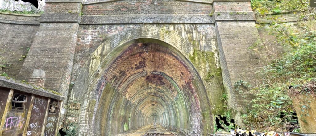
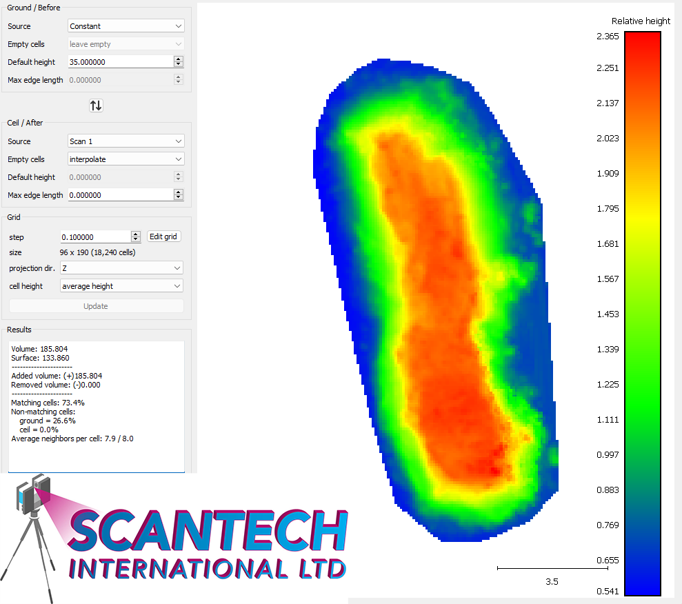
A survey was required for the emergency landslip at Essendine.
The landslip was surveyed using our leica RTC360 laser scanner and a drone was flown over the site to capture more detail and create a 3D model.
A survey was required for the emergency landslip at Essendine.
The landslip was surveyed using our leica RTC360 laser scanner and a drone was flown over the site to capture more detail and create a 3D model.
A survey was required for the emergency landslip at Essendine.
The landslip was surveyed using our leica RTC360 laser scanner and a drone was flown over the site to capture more detail and create a 3D model.
To request additional or different data, please complete the following form and our team will be in touch.
For more information regarding the above data please contact info@scantech-international.com or call 01625 260 446
This data is accurate on the date of survey indicated. Scantech International Ltd are not liable for any changes that might occur.
To request additional or different data about a location, please complete the following form and our team will be in touch.