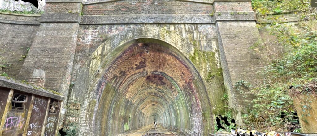
Click on "+" to expand survey materials
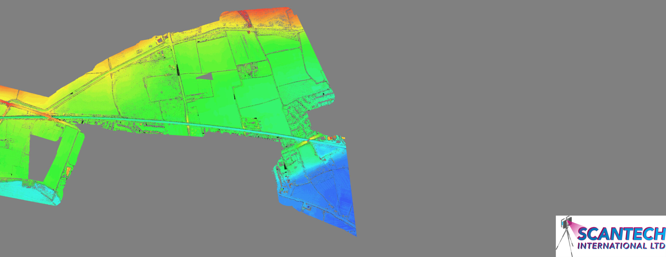
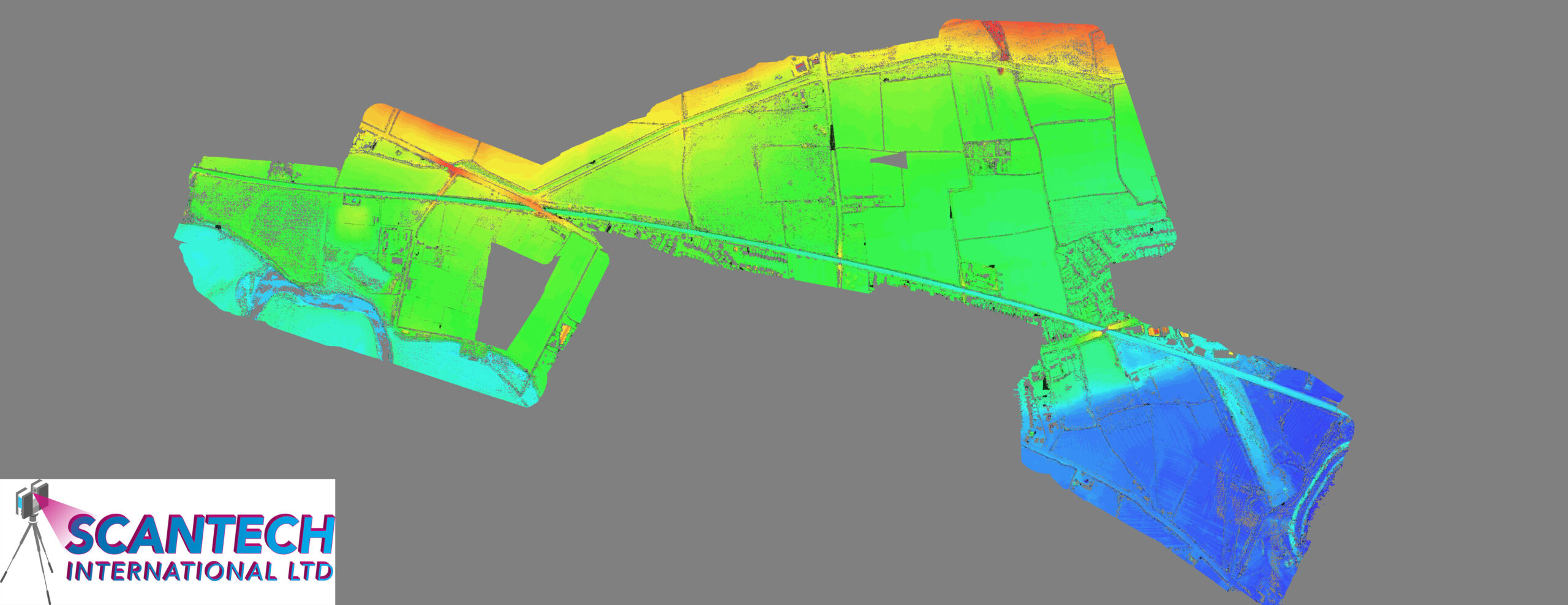
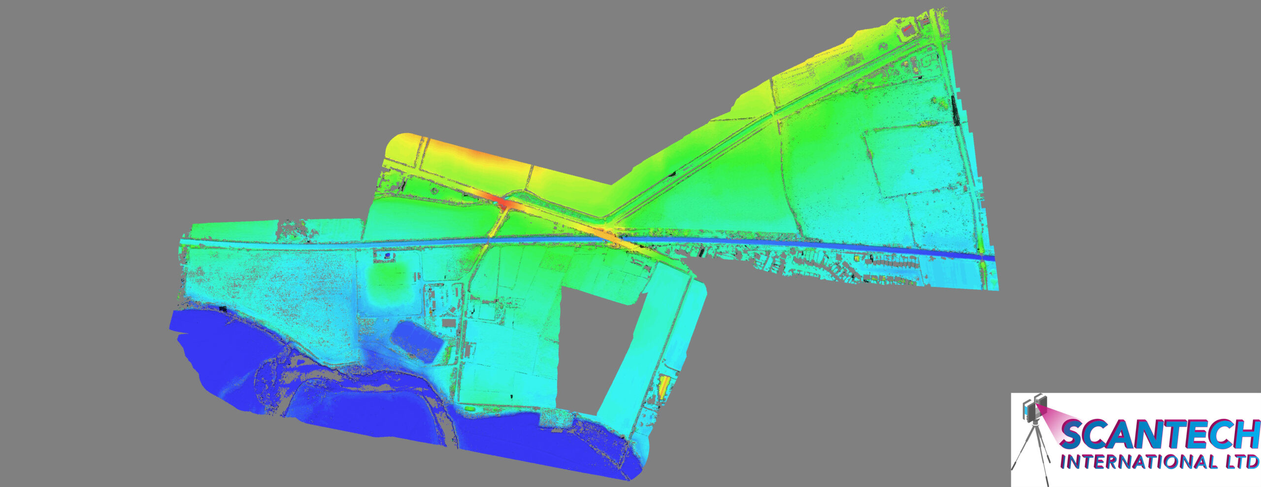
Network Rail requested a drone lidar survey over a specified area located in Draycott. This area is very prone to flooding which results in delays to train operations on the affected line.
The drone flight carried out by David Mcrory with Jonathan McCroy assisting.
Josh Brazil and Tom Davis surveyed in GCPs using RTK GPS.
Network Rail requested a drone lidar survey over a specified area located in Draycott. This area is very prone to flooding which results in delays to train operations on the affected line.
This visit was to extend the area that had been captured during the previous survey.
The drone flight carried out by David Mcrory with Jonathan McCroy assisting.
To request additional or different data, please complete the following form and our team will be in touch.
For more information regarding the above data please contact info@scantech-international.com or call 01625 260 446
This data is accurate on the date of survey indicated. Scantech International Ltd are not liable for any changes that might occur.
To request additional or different data about a location, please complete the following form and our team will be in touch.