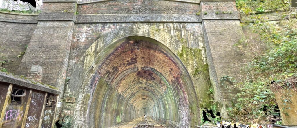
Click on "+" to expand survey materials
We received an emergency request to carry out a survey on a landslide at Newton Wycliffe.
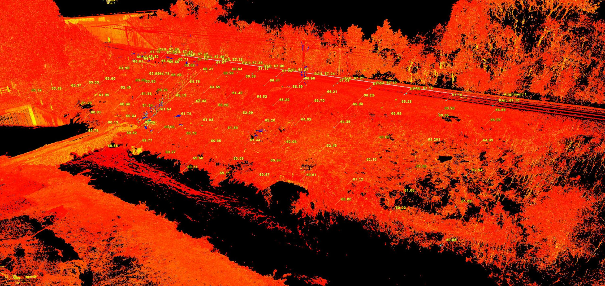
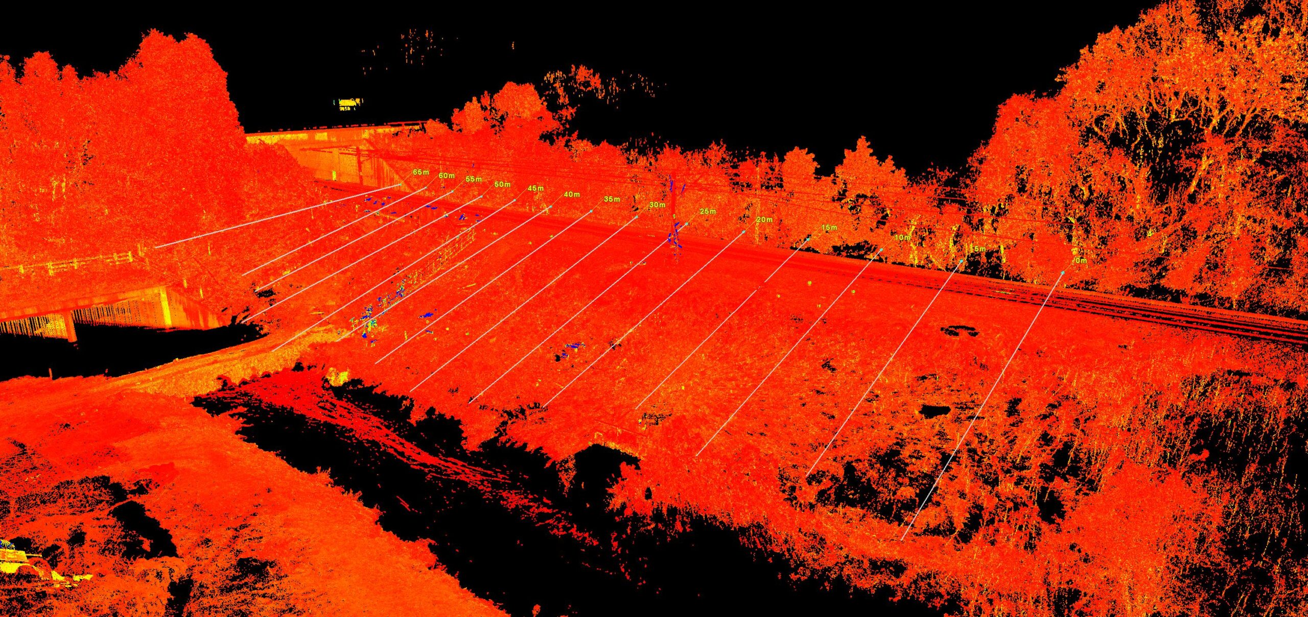
We scanned the effected area using our laser scanner and used drone images from Matthew Brewery to create a 3d model of the area.
We also covered the area with our 360 camera.
Virtual Tour Link
Scanned By Josh Brazil, Jonathan McCrory and Tom Davis.
Equipment was Leica RTC360, Leica GPS and Insta360 camera.
Matthew Brewer form Network Rail provide the drone images for us.
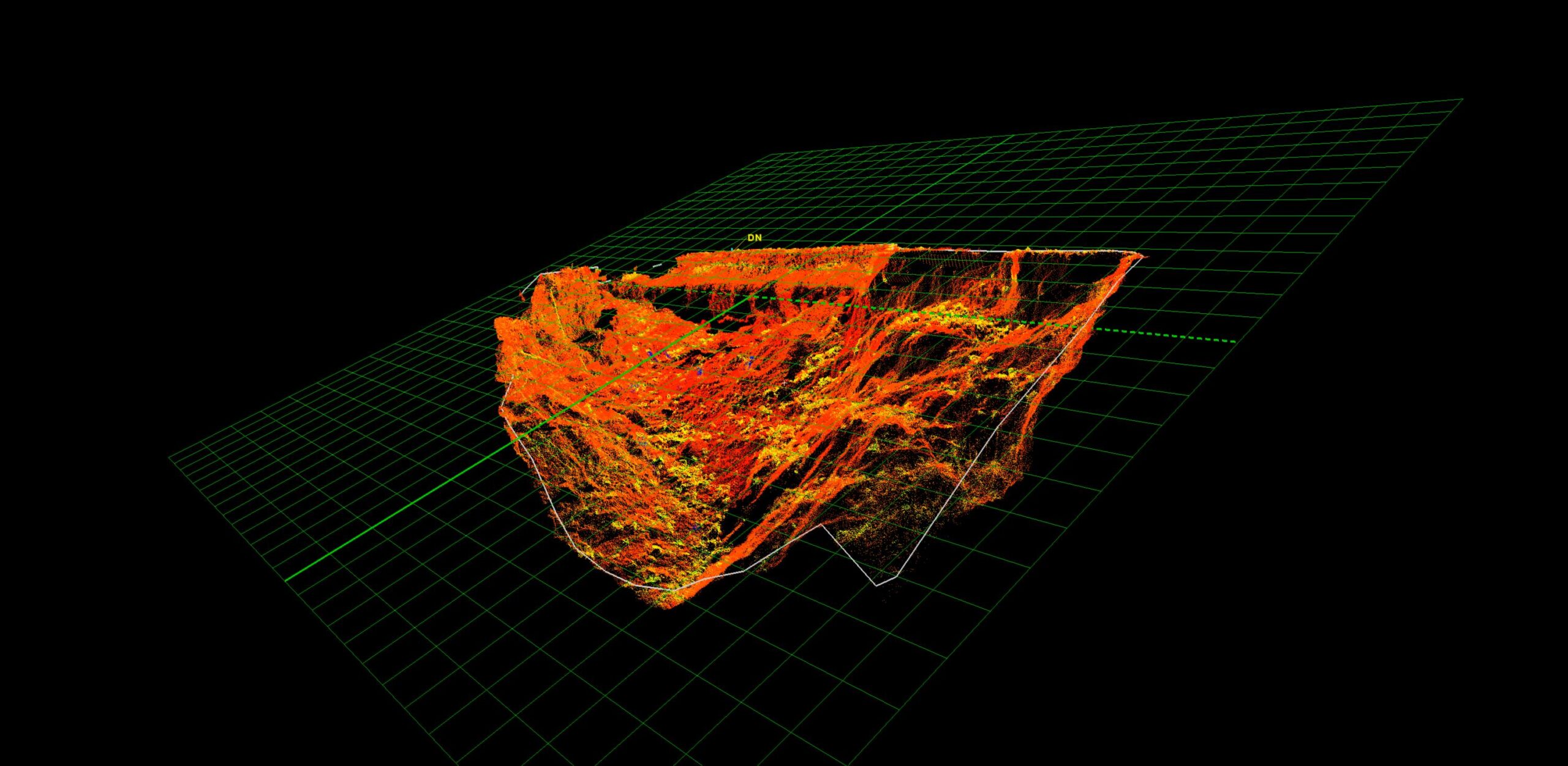
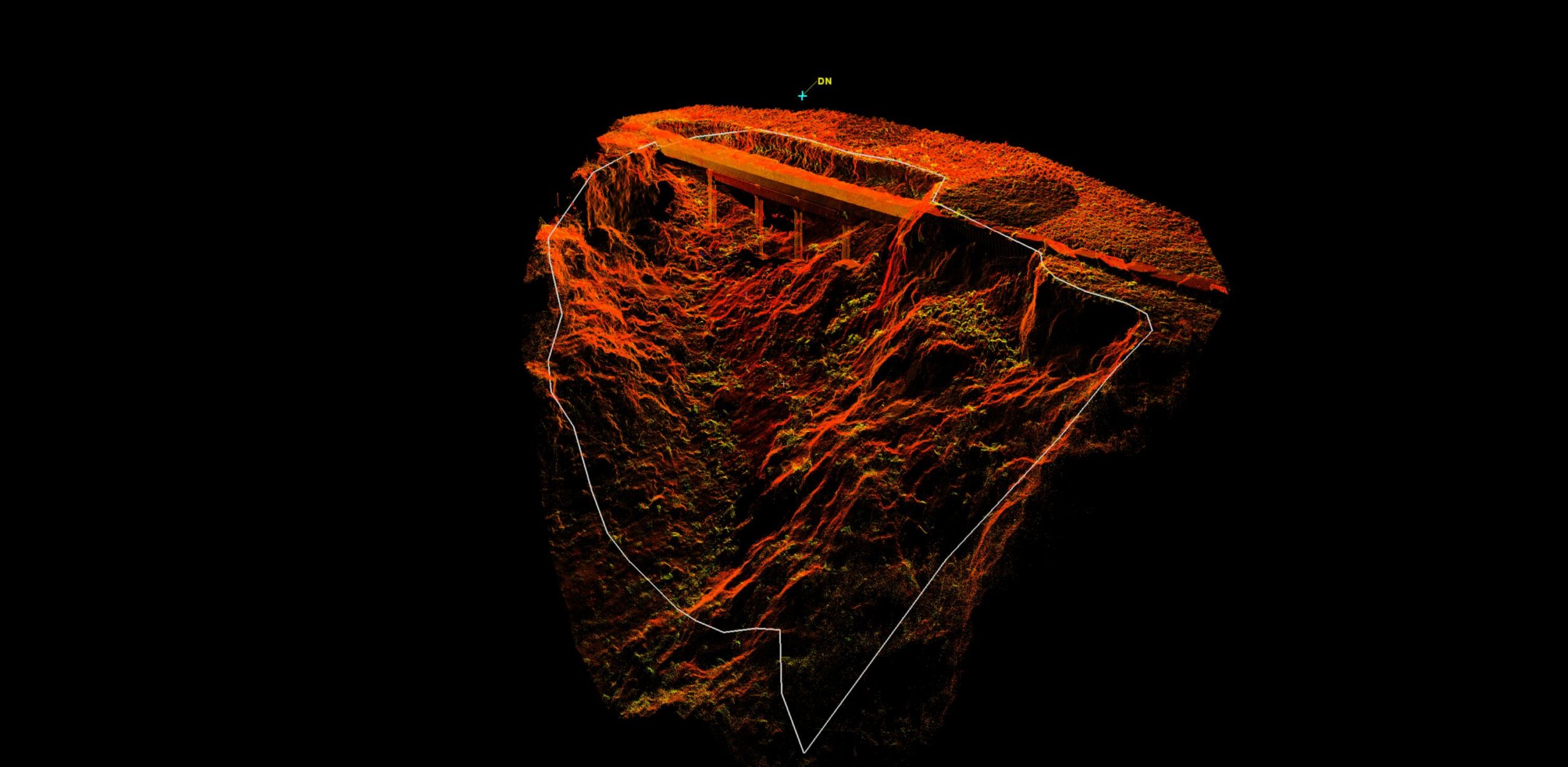
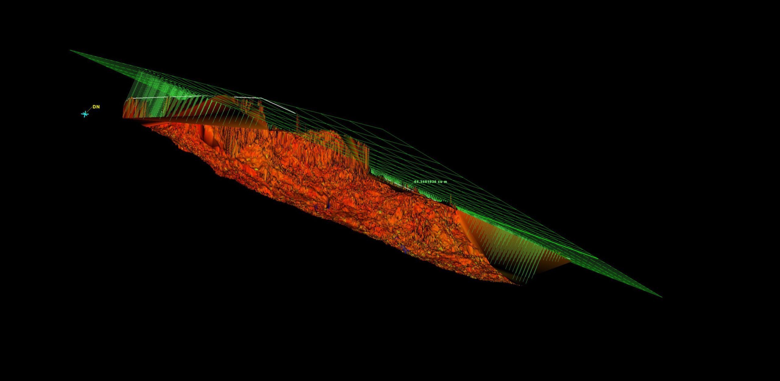
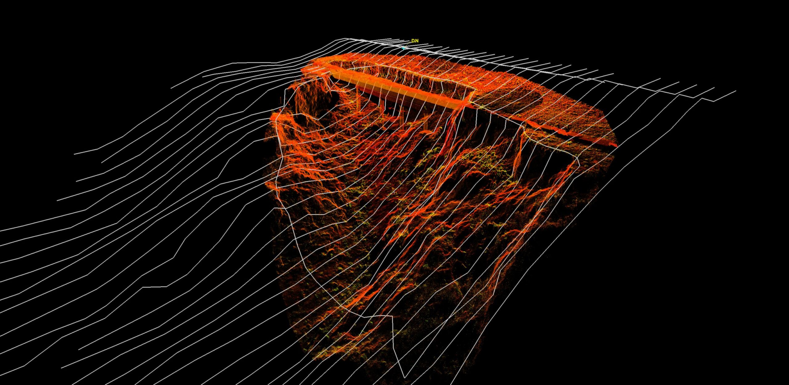
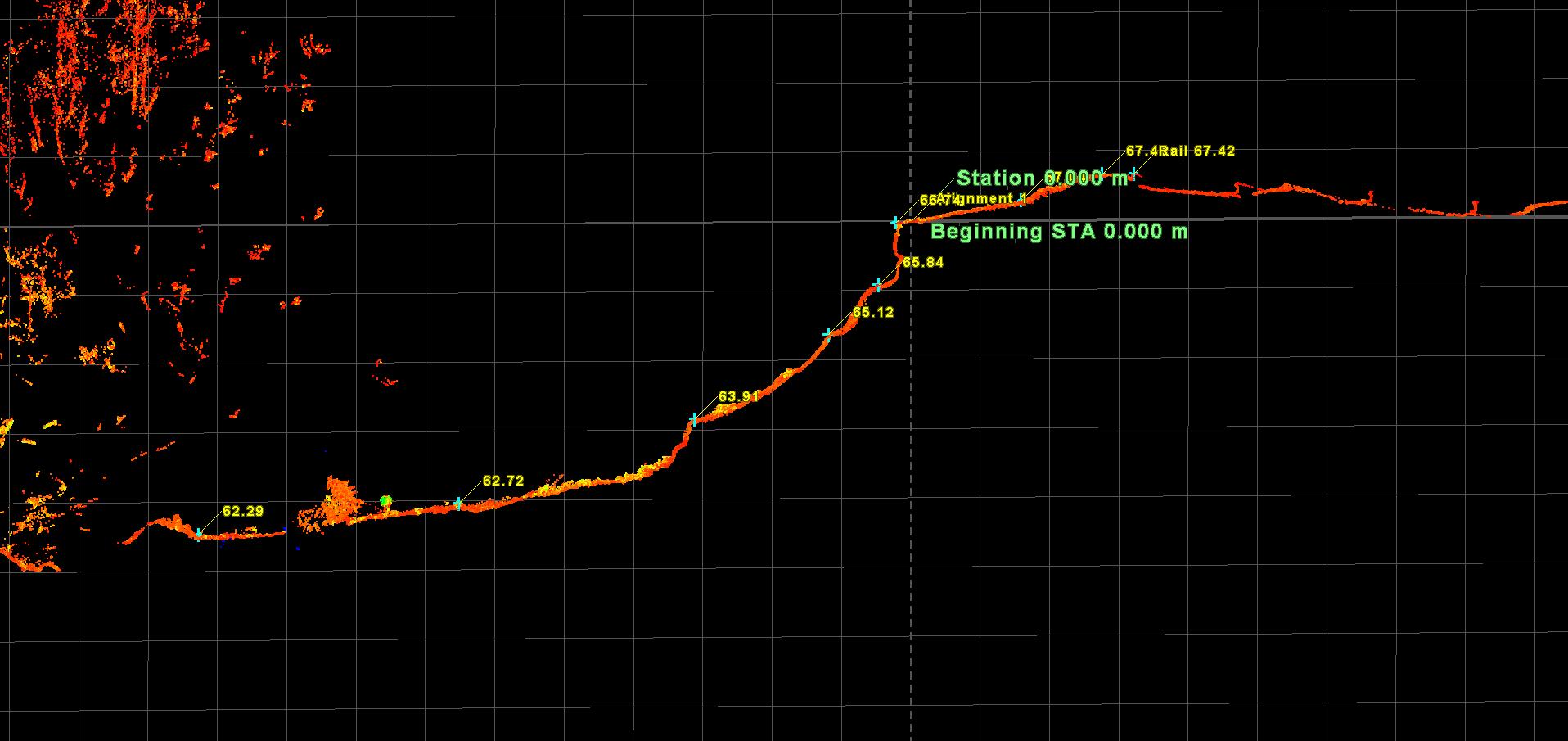
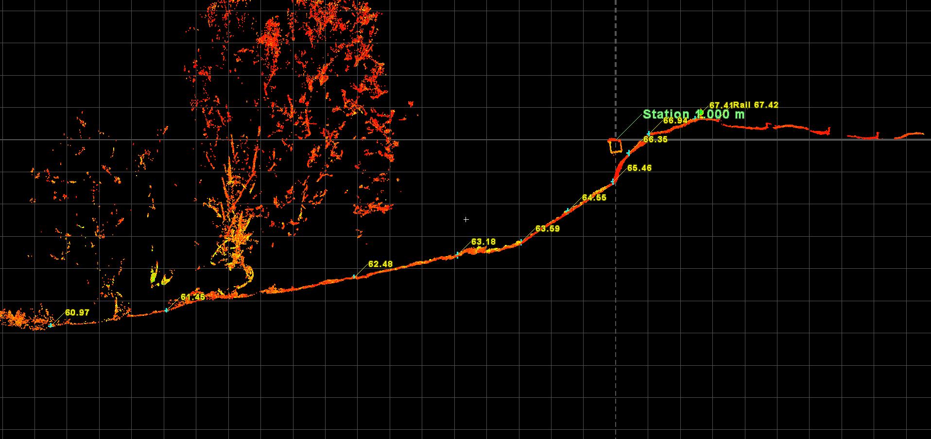
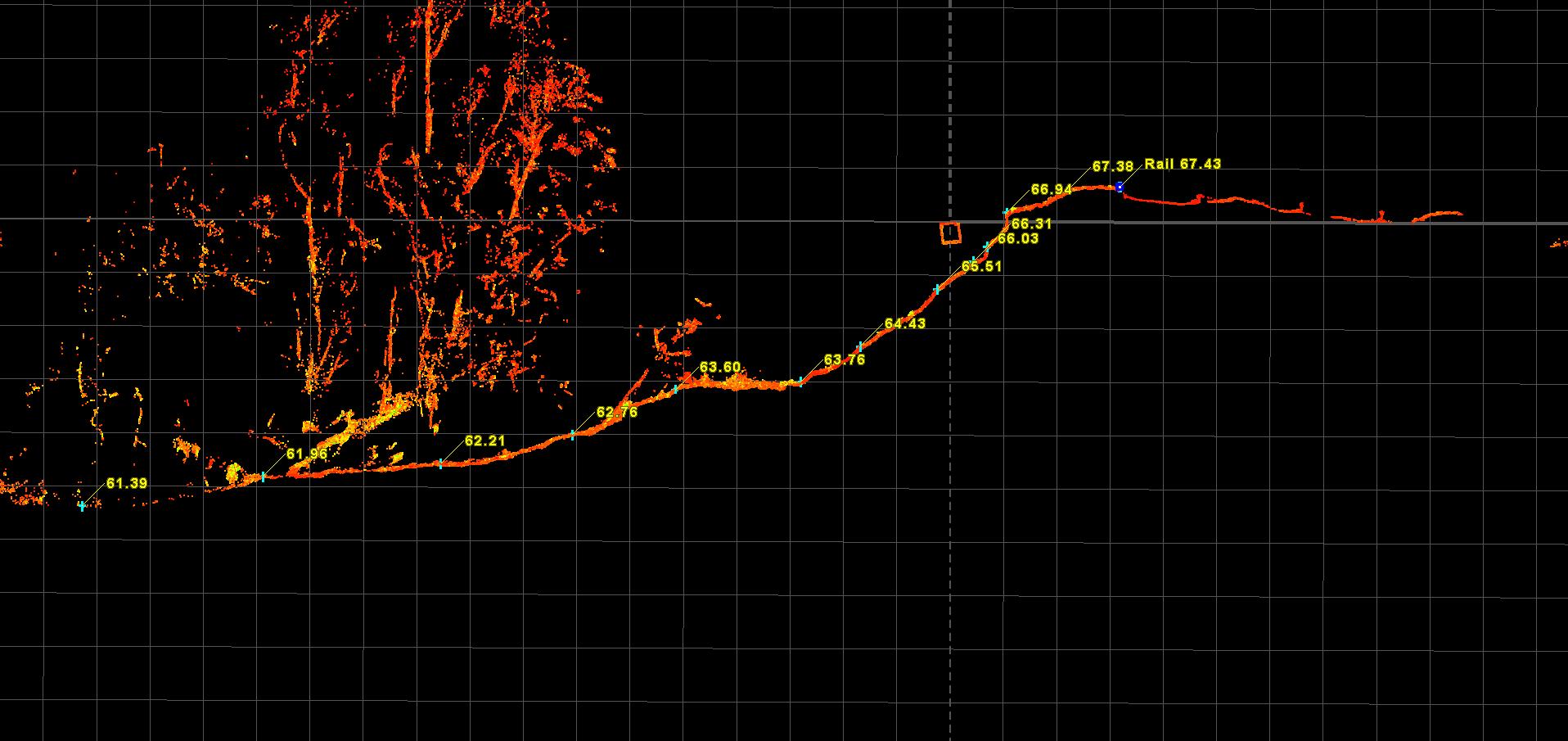
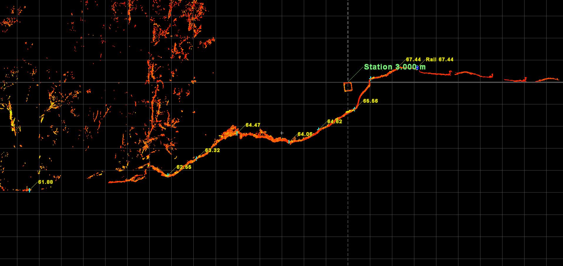
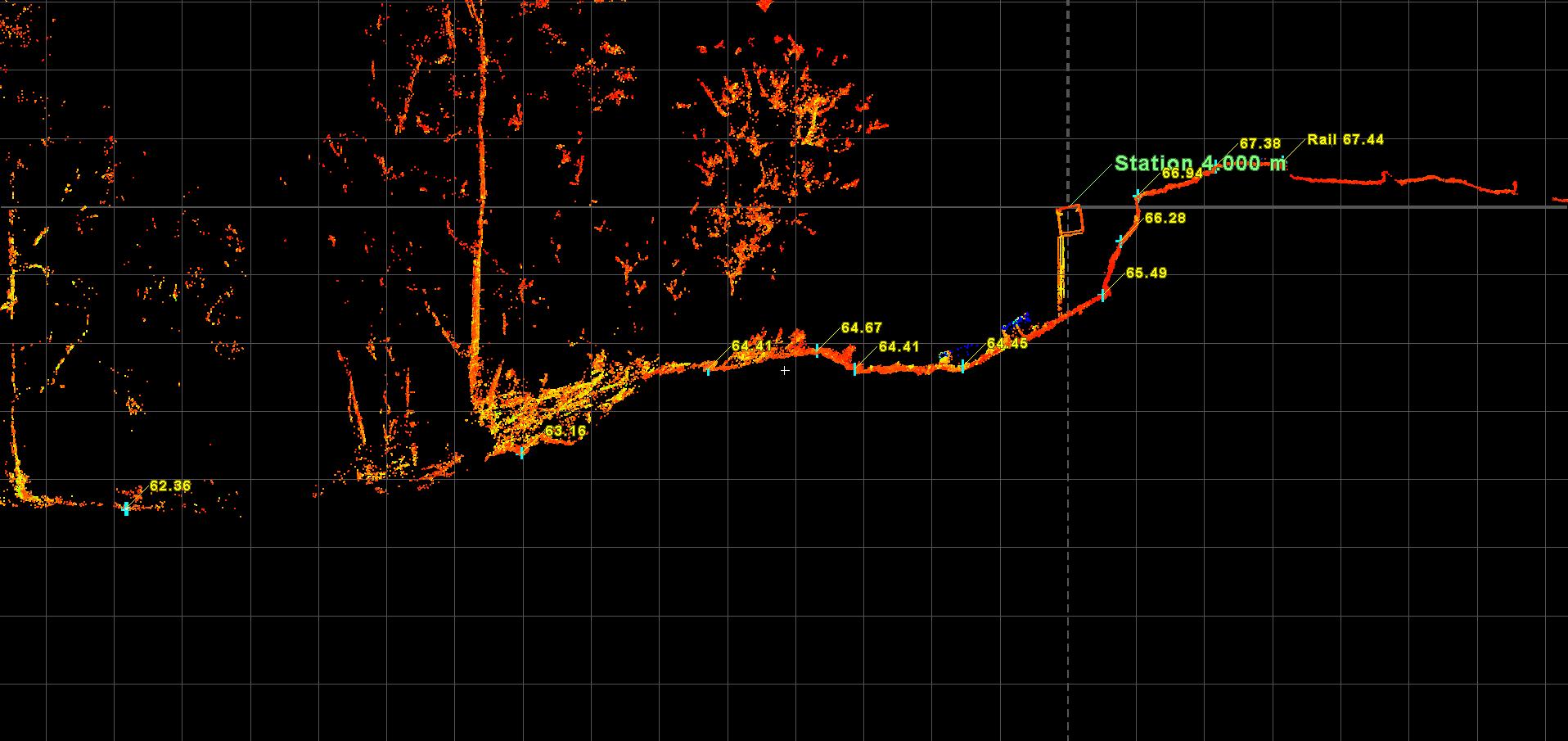
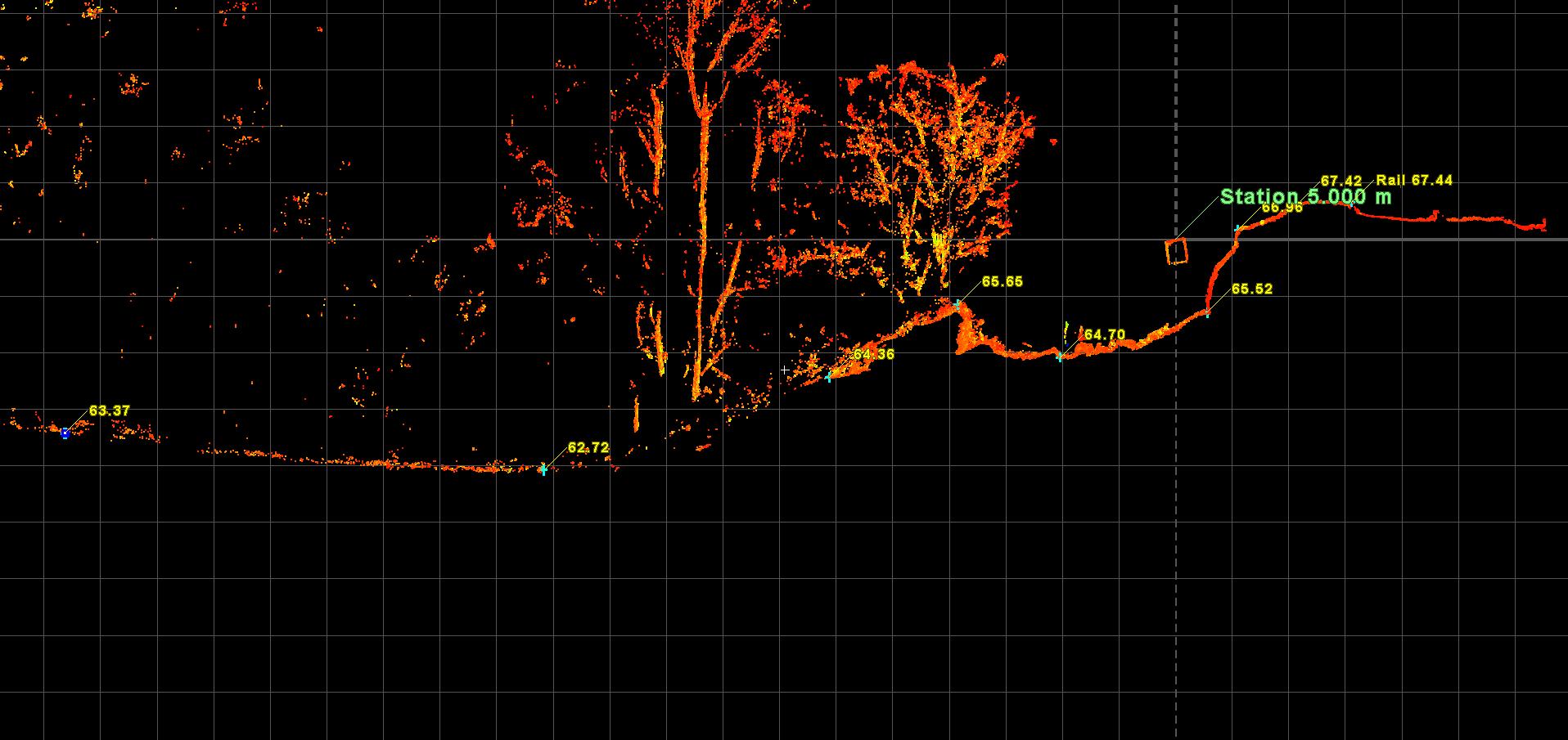
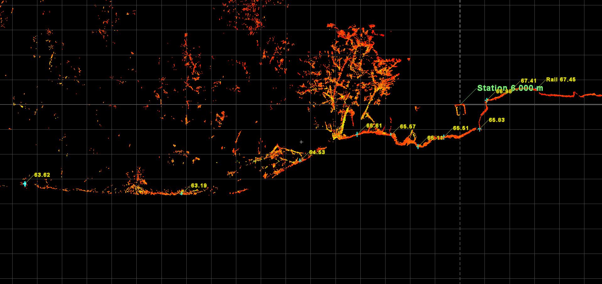
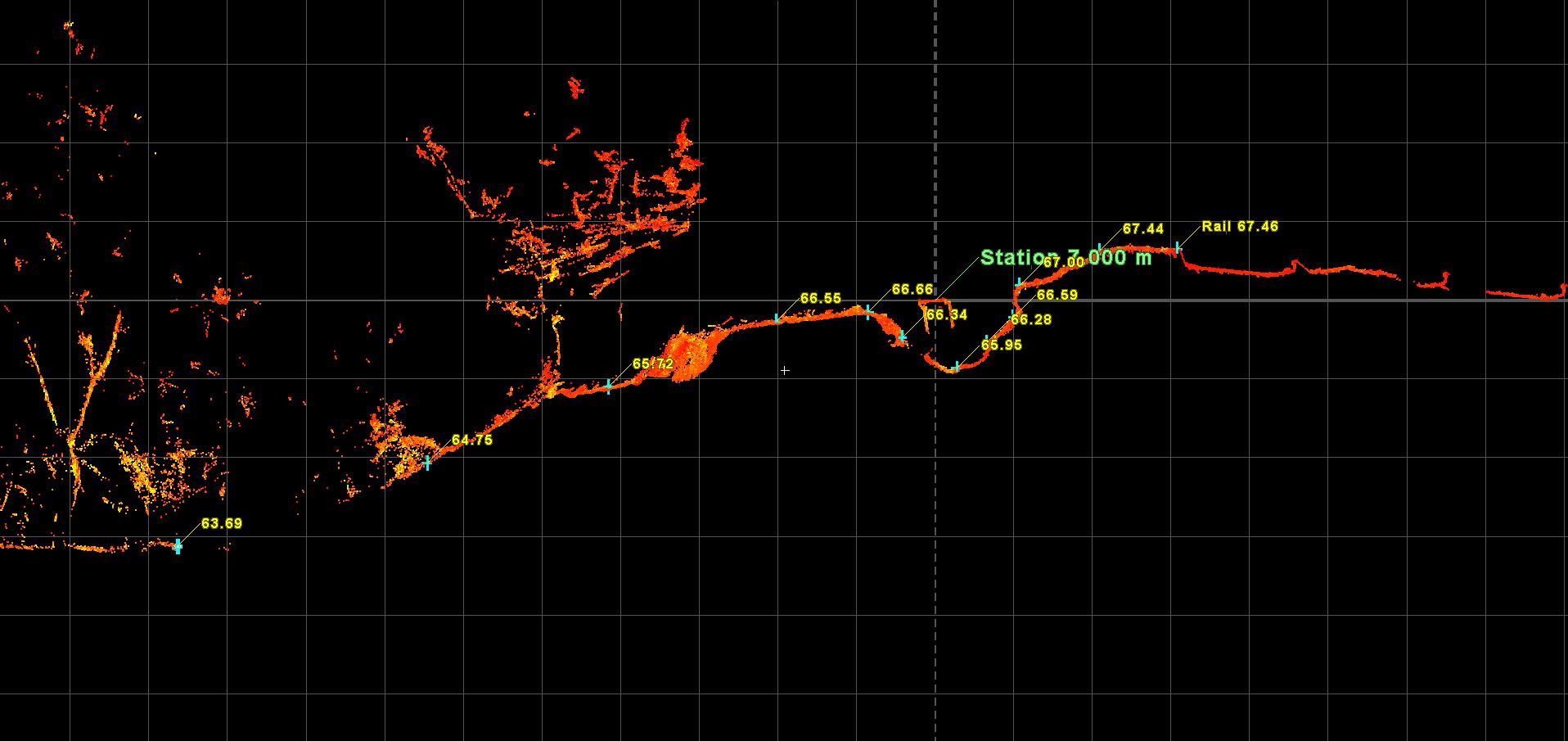
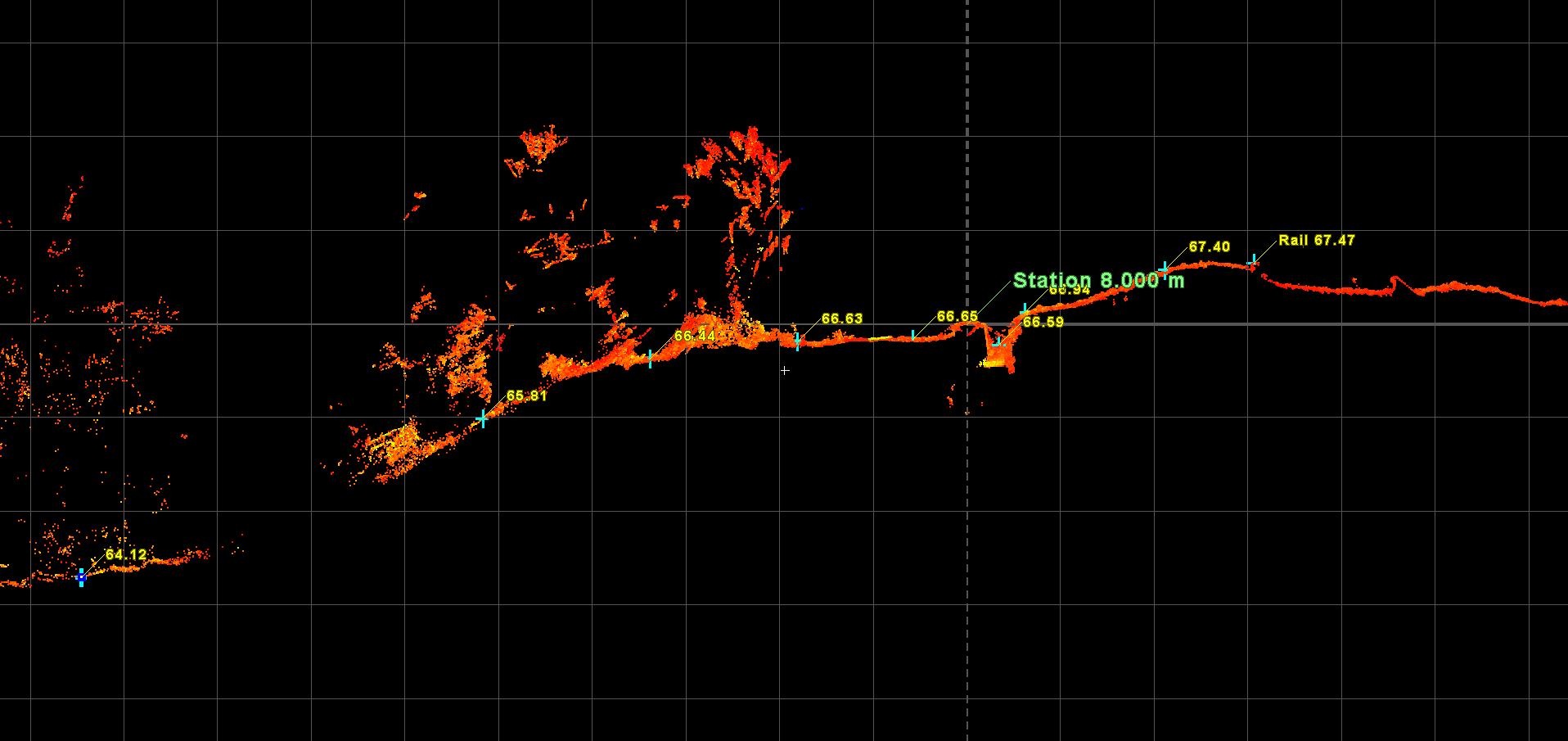
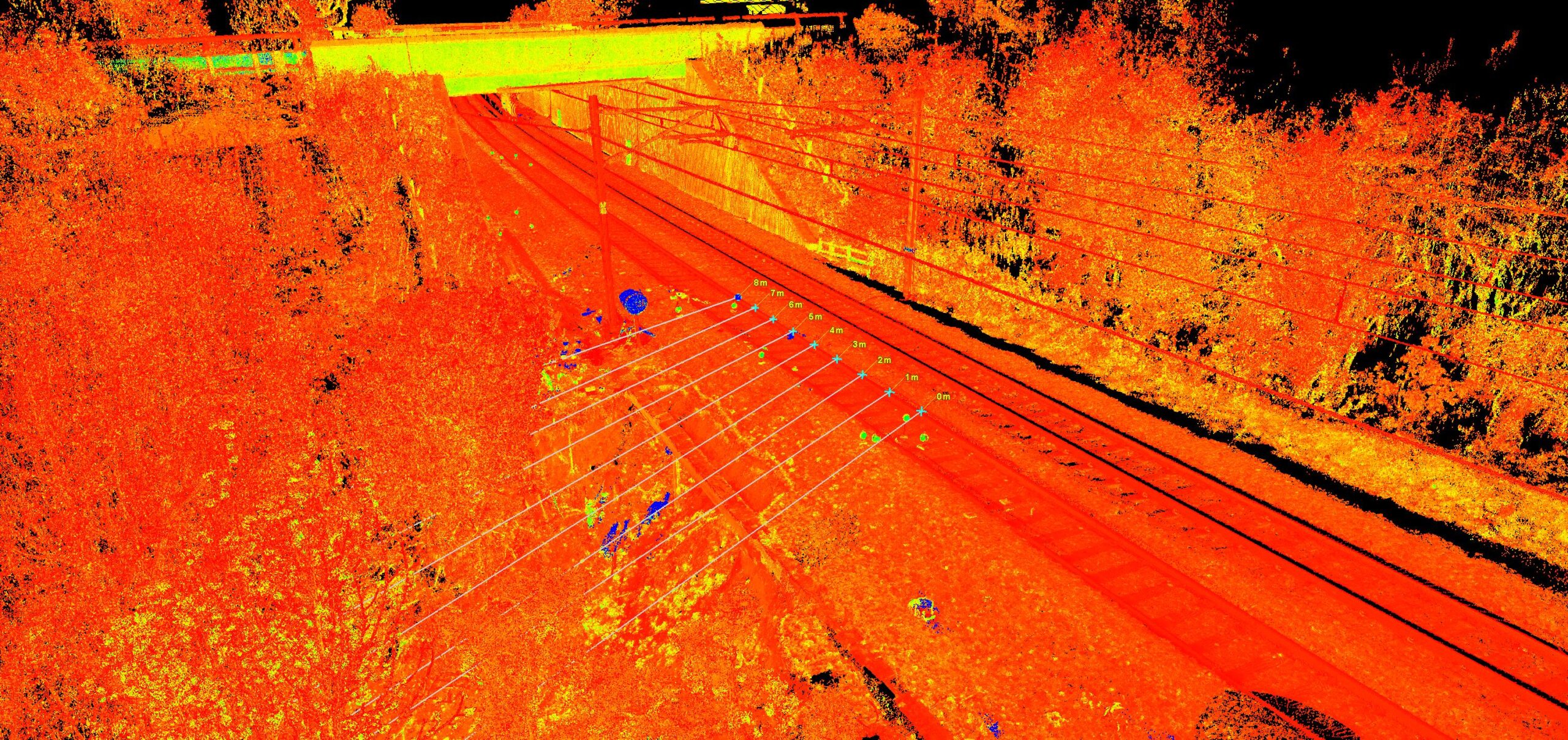
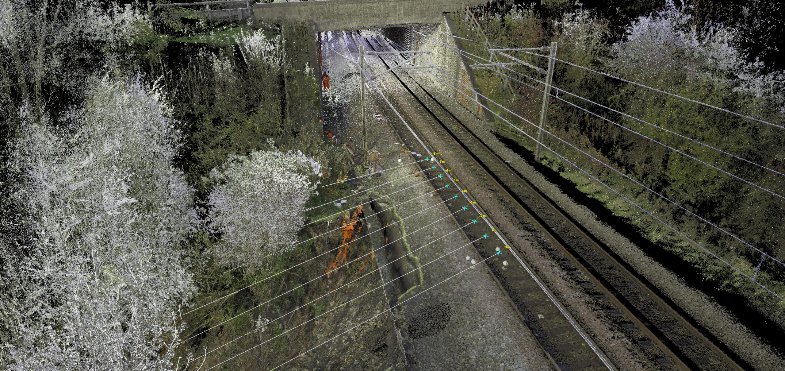
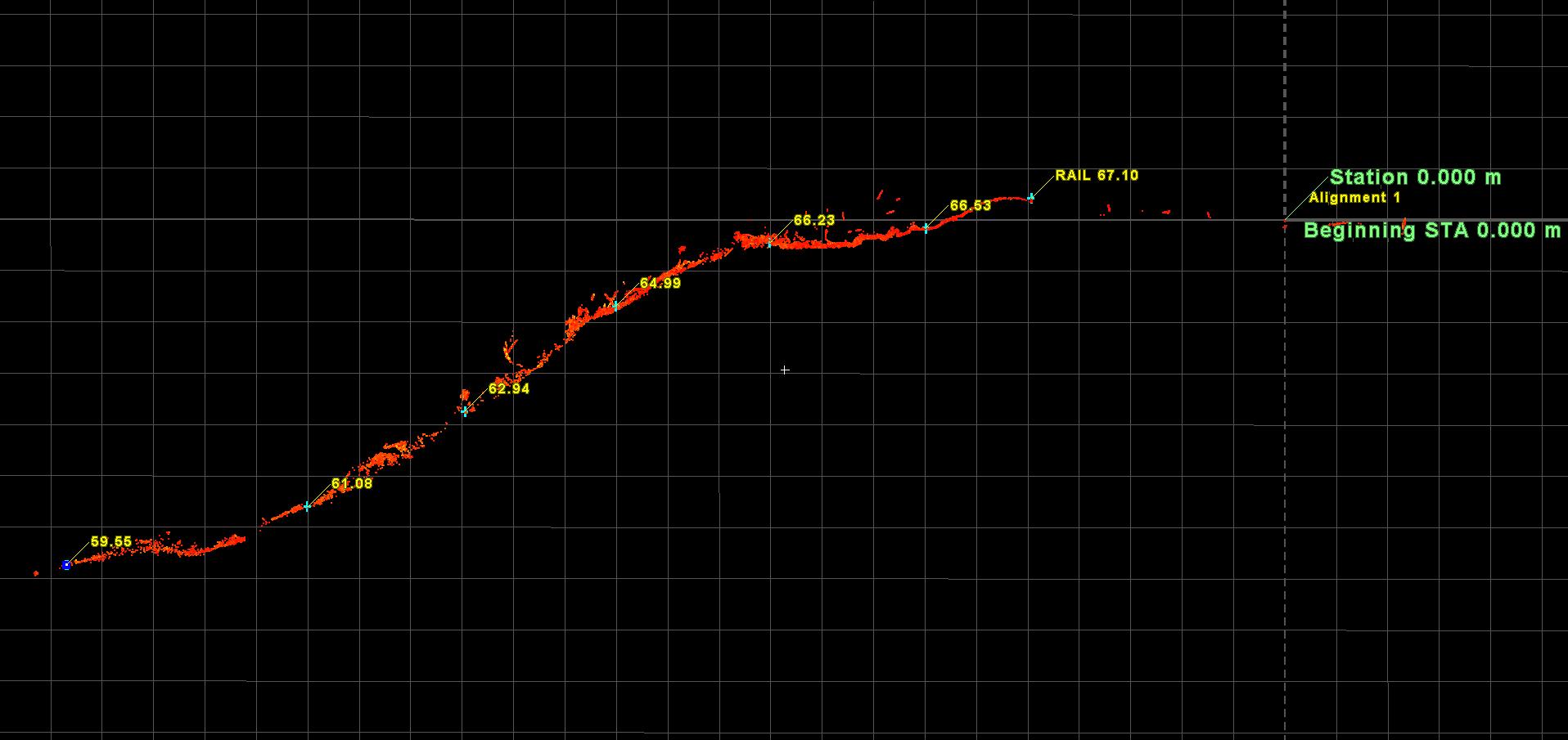
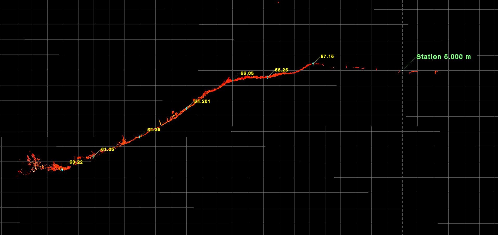
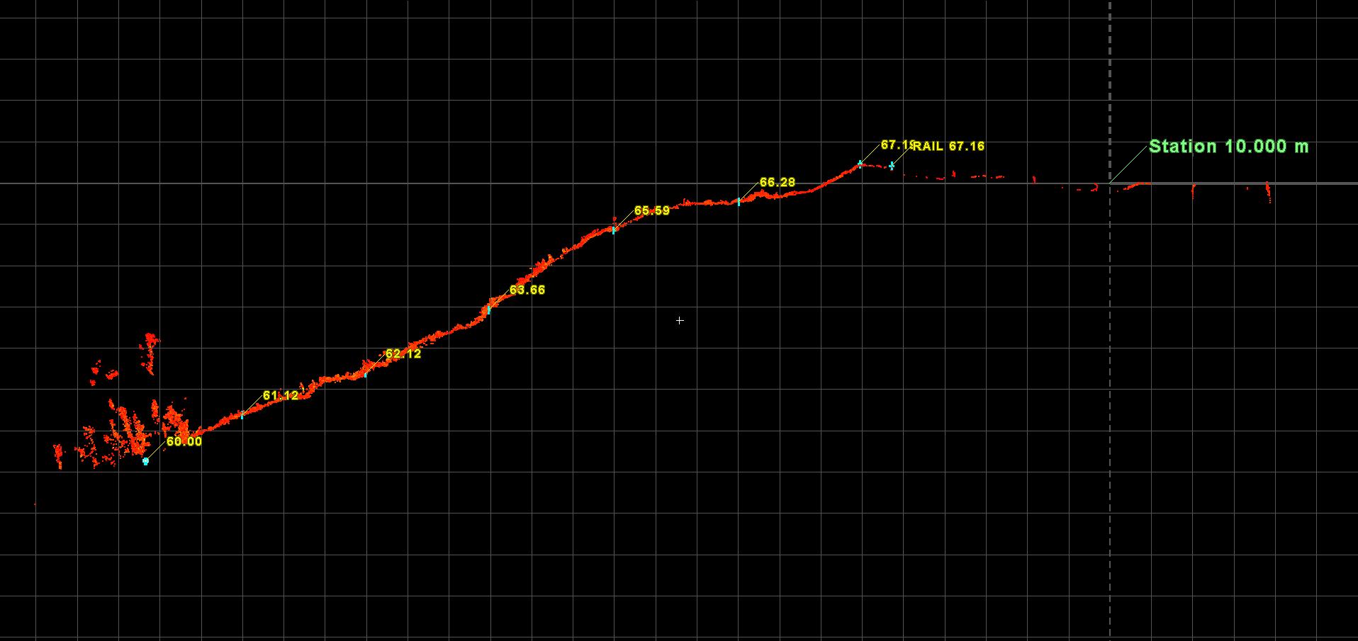
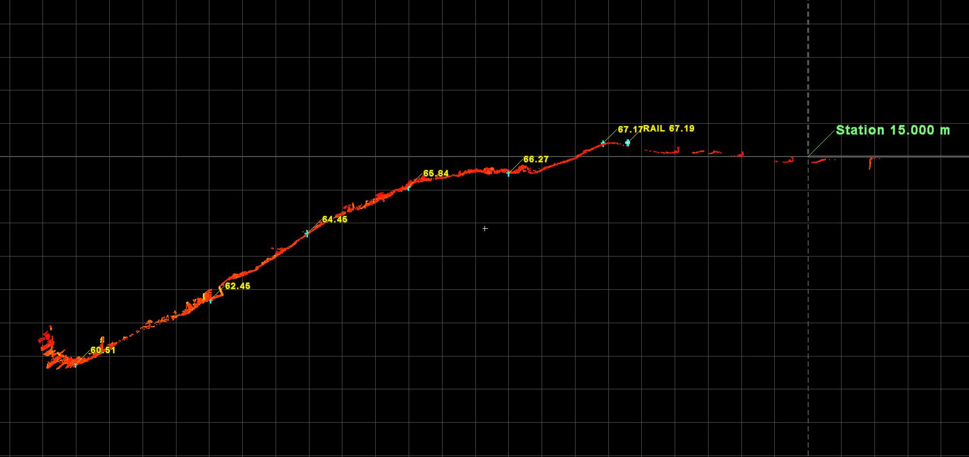
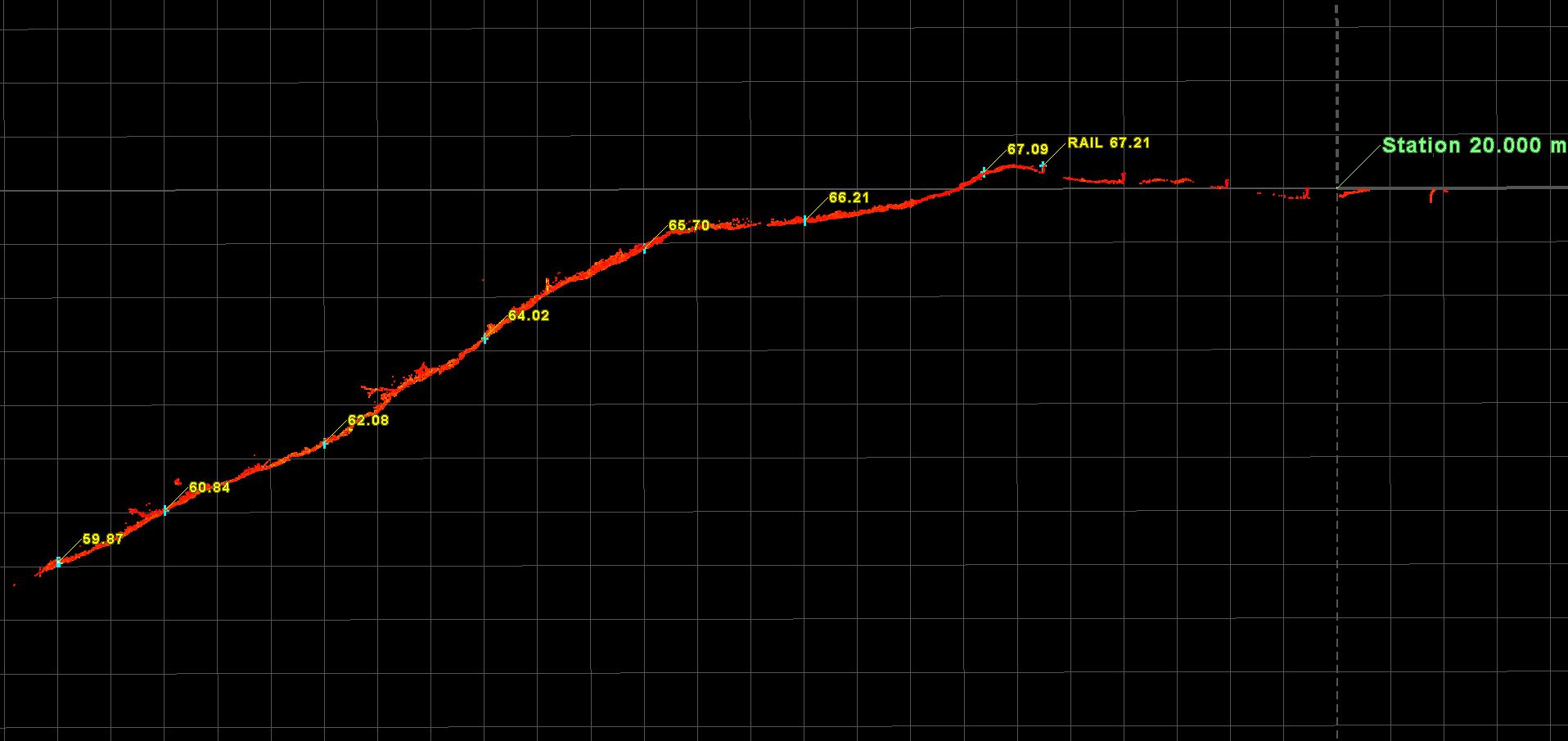
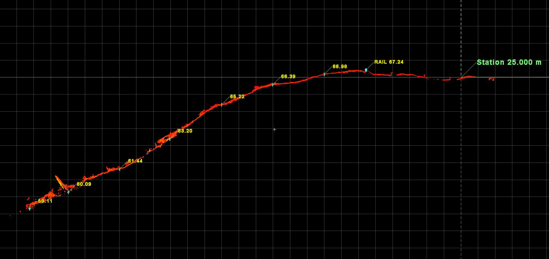
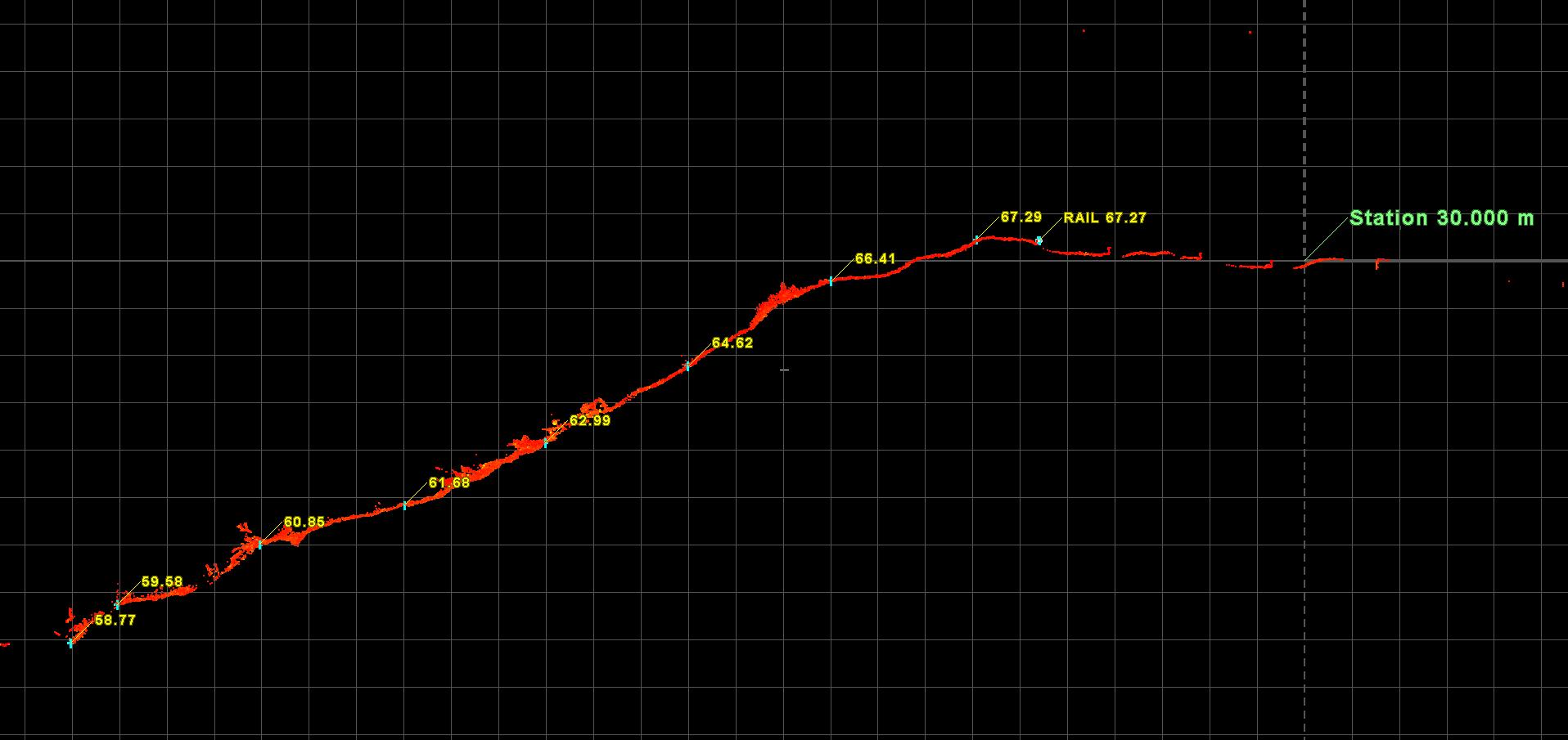
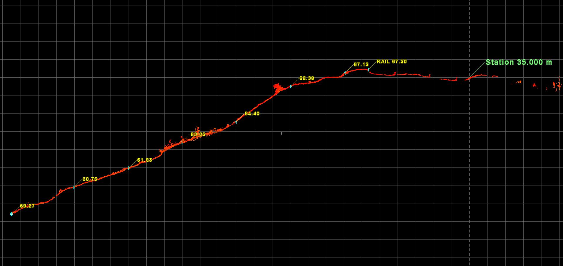
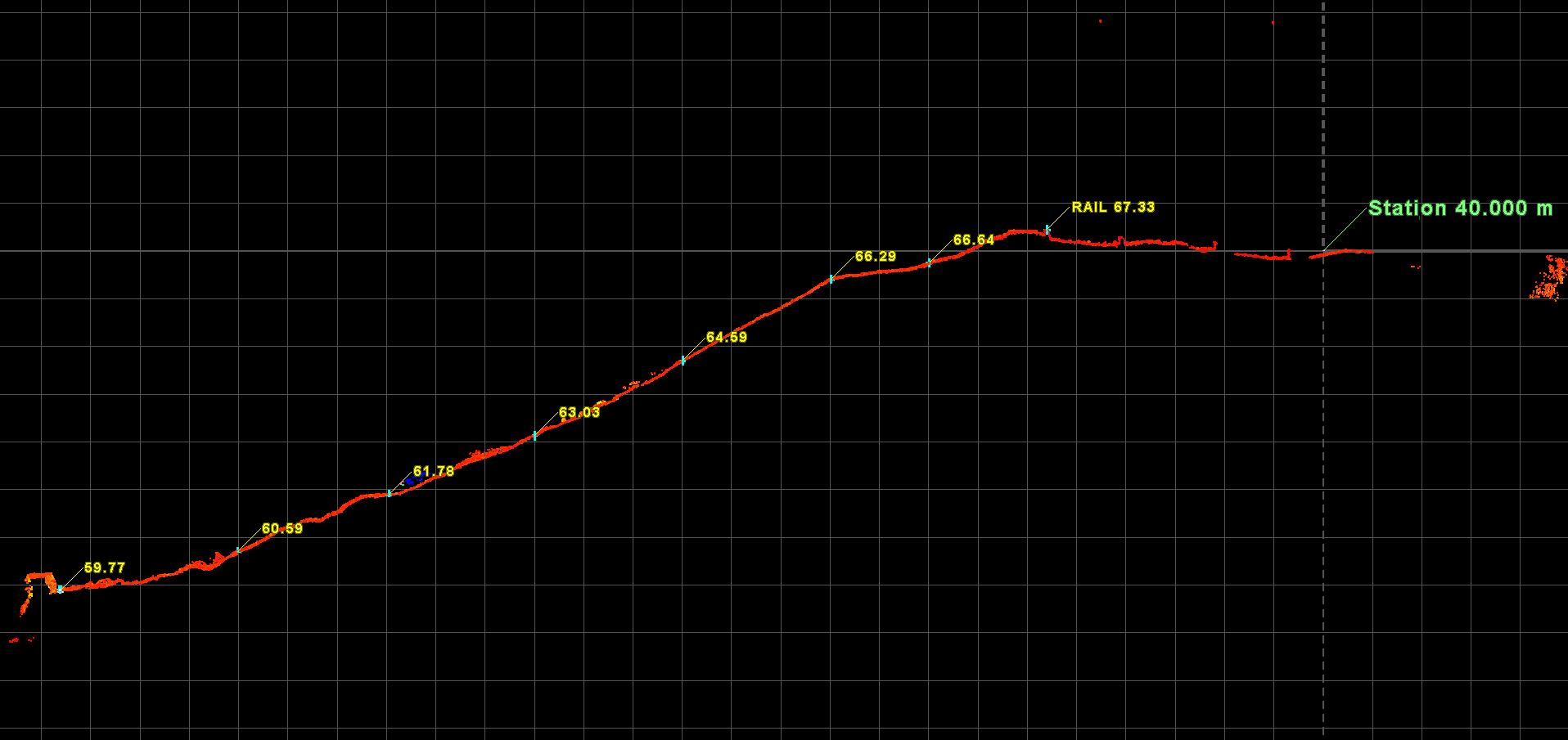
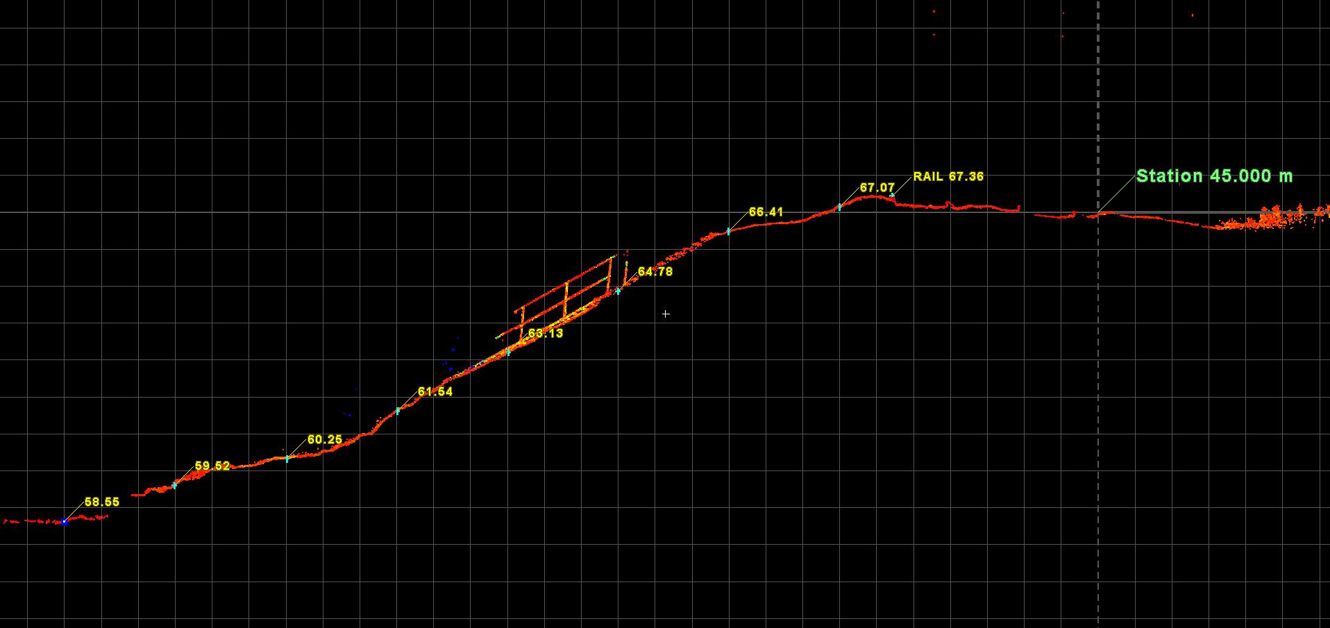
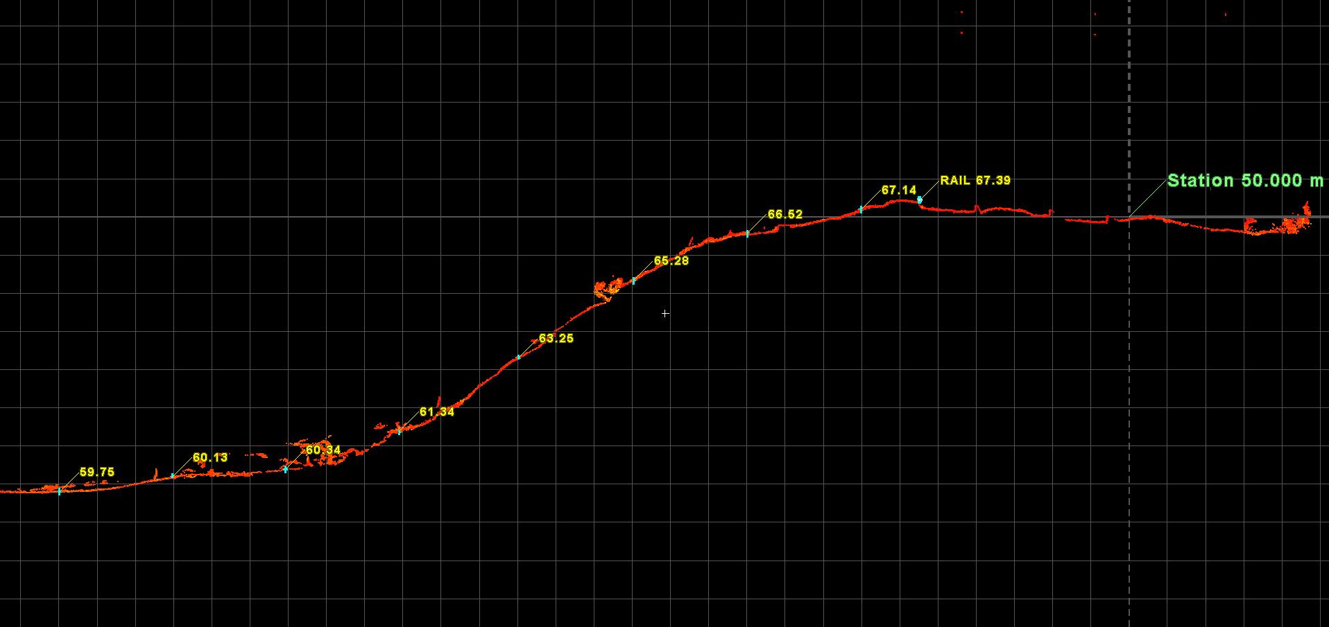
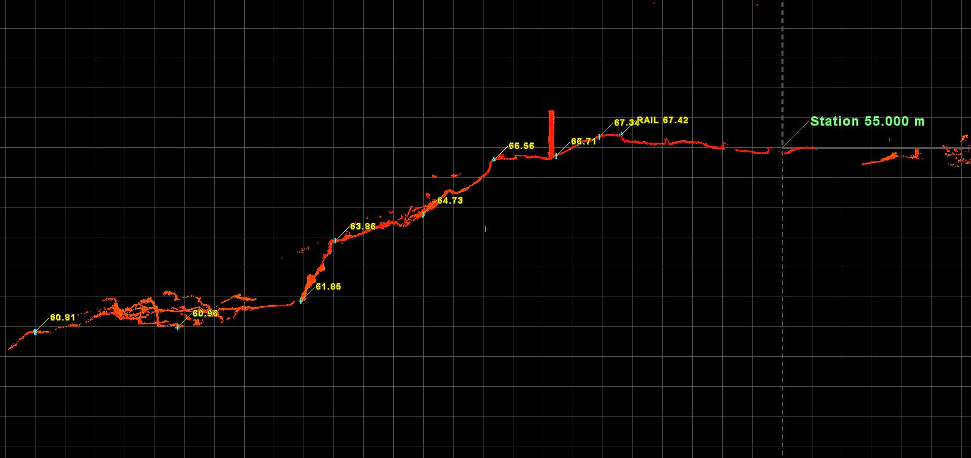
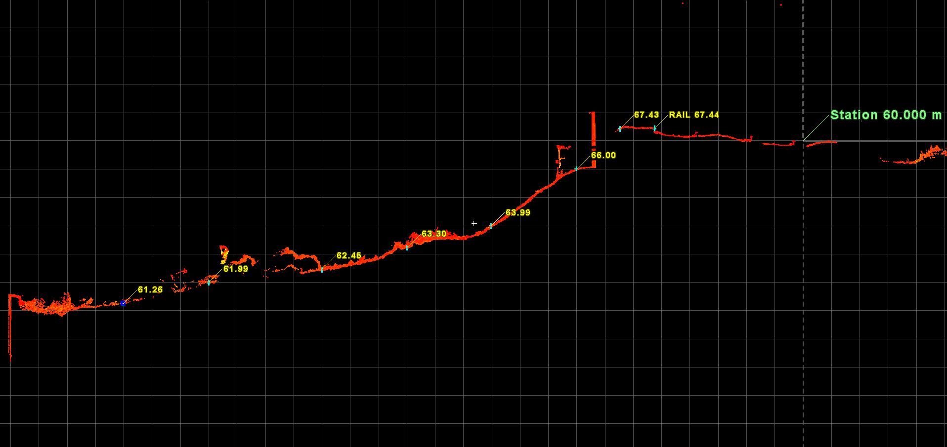
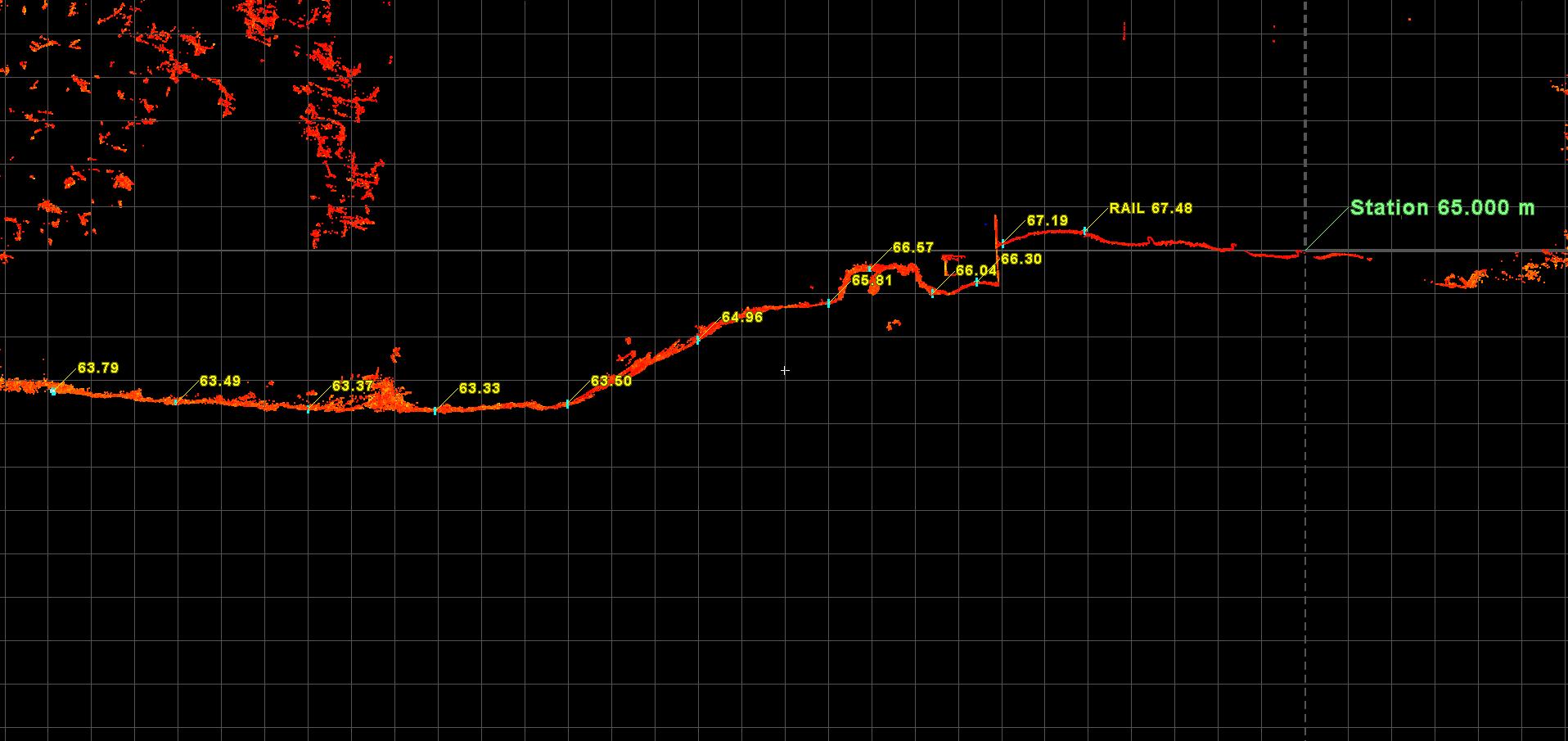
We returned to site to carry out an extended survey of a 200m section of embankment which had been devegged.
CML suspect that the might be void s in the embankment so sections are required to help identify these.
Scanned By Josh Brazil and Tom Davis.
Equipment was Leica RTC360, Leica GPS
To request additional or different data, please complete the following form and our team will be in touch.
For more information regarding the above data please contact info@scantech-international.com or call 01625 260 446
This data is accurate on the date of survey indicated. Scantech International Ltd are not liable for any changes that might occur.
To request additional or different data about a location, please complete the following form and our team will be in touch.